End-to-End Digital Twin Solutions
Complete delivery from data acquisition to deployment—ensuring seamless integration and reduced project risk.
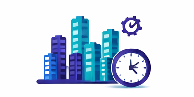
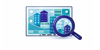
Ultra-Scalable City-Wide 3D Modeling
Generate 100,000+ buildings (LOD 2.2) in hours using proprietary cloud-based workflows.
Semi-Automated BIM & CAD Model Generation
80% automated LiDAR-to-BIM pipeline delivering high-quality outputs faster and at significantly lower cost.

Independent & Flexible Digital Twin Platforms
In-house platforms with no dependency on third-party limitations, while remaining fully interoperable.

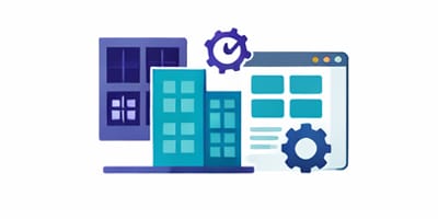
Cloud-Based Scalable Processing & Web Platforms
Efficient large-scale processing with web-based platforms delivering near real-time insights.
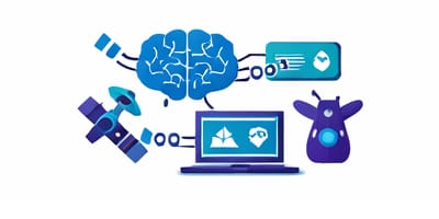
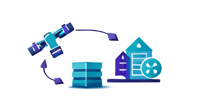
Advanced AI & Multi-Sensor Integration
Seamless fusion of satellite, aerial, LiDAR, drone, and in-situ data for high-accuracy analytics.

Flexible Multi-Source Texture Mapping
Tailored texture mapping solutions using aerial, satellite, and street-level imagery based on project needs.
Cutting-Edge HD Mapping Capabilities
Automated extraction of detailed urban features with high accuracy and reduced production time.

Flexible & Cost-Effective Delivery Models
Optimized workflows minimizing field operations while maintaining high-quality results.
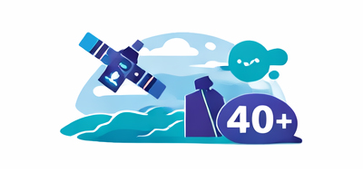
Extensive Remote Sensing Expertise (40+ Applications)
Proven experience across diverse applications, ensuring the most effective solution for each project.

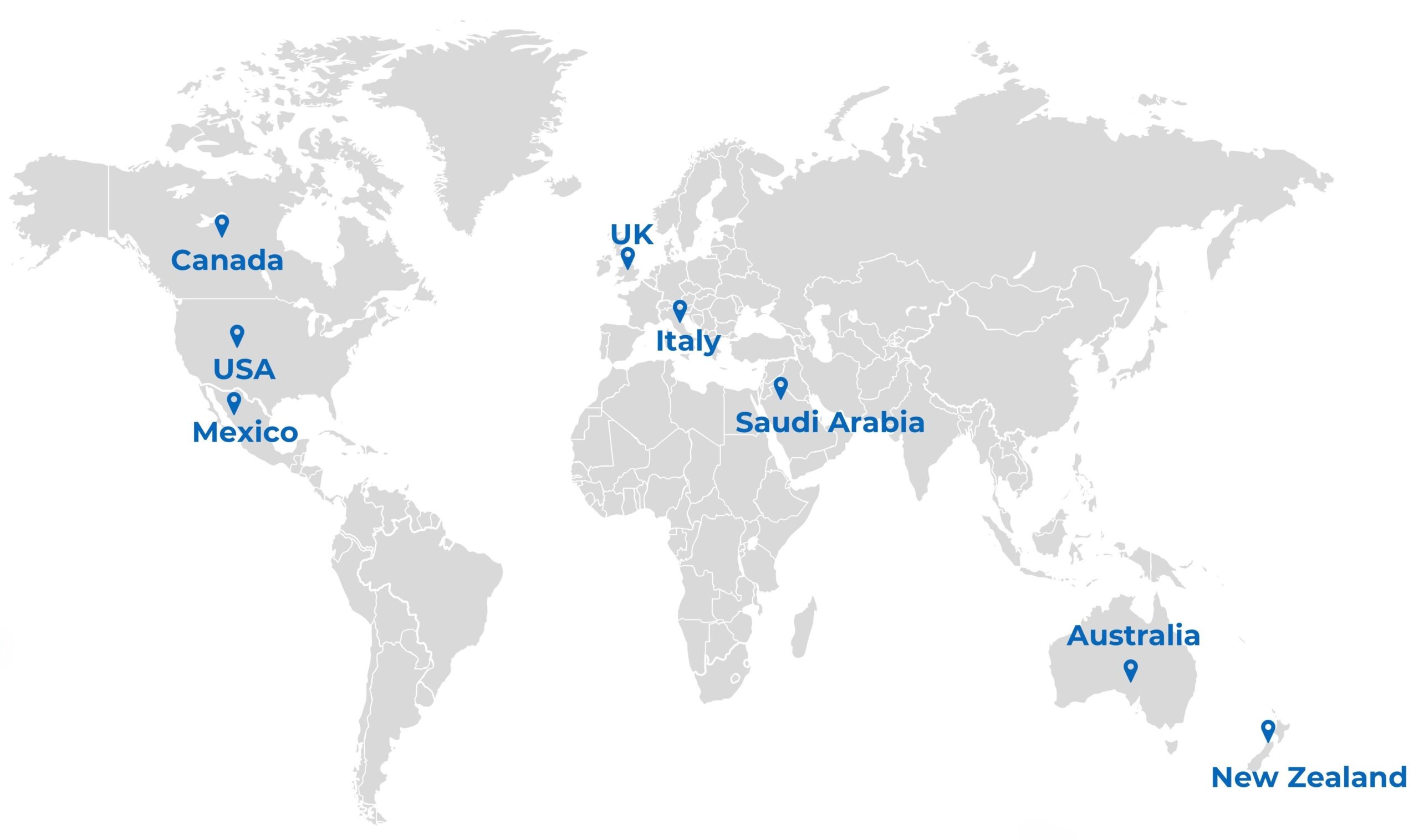
Global Partner Network for Scalable Delivery
Access to international partners for field surveys, data collection, and annotation.

Strong Indigenous & Stakeholder Engagement Experience
Proven track record working with Indigenous communities and integrating TEK into projects.

Proven Leadership in Digital Twin Delivery
Management team with experience delivering 100+ projects across multiple sectors globally.

World-Class Technical & Research Team
PhD-level experts and Top 2% globally recognized scientists applying state-of-the-art AI models.

Strong Research & Innovation Track Record
400+ peer-reviewed publications ensuring cutting-edge, science-driven solutions.