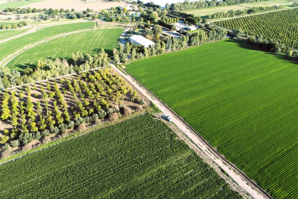
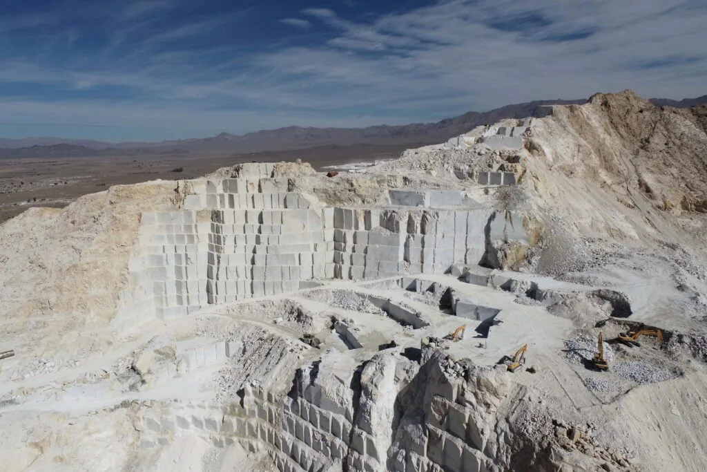
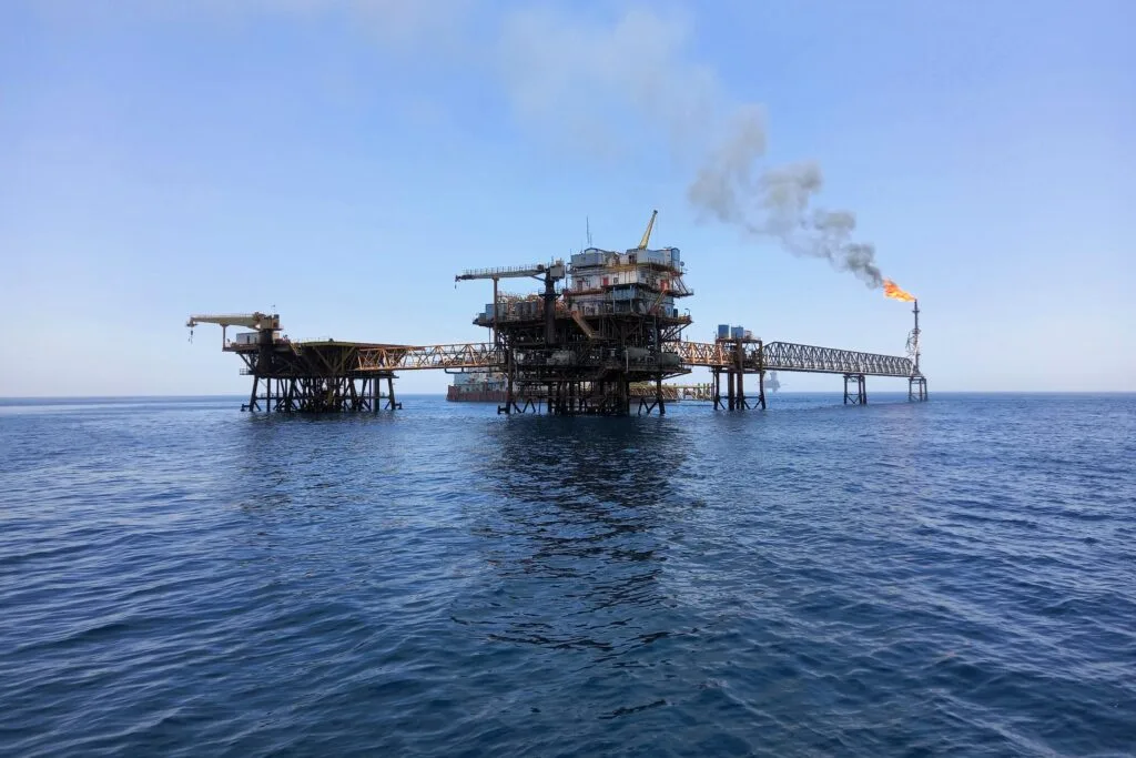
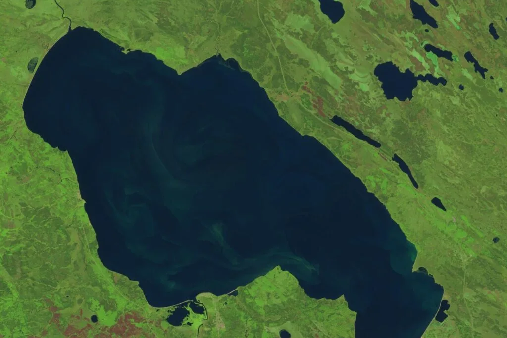
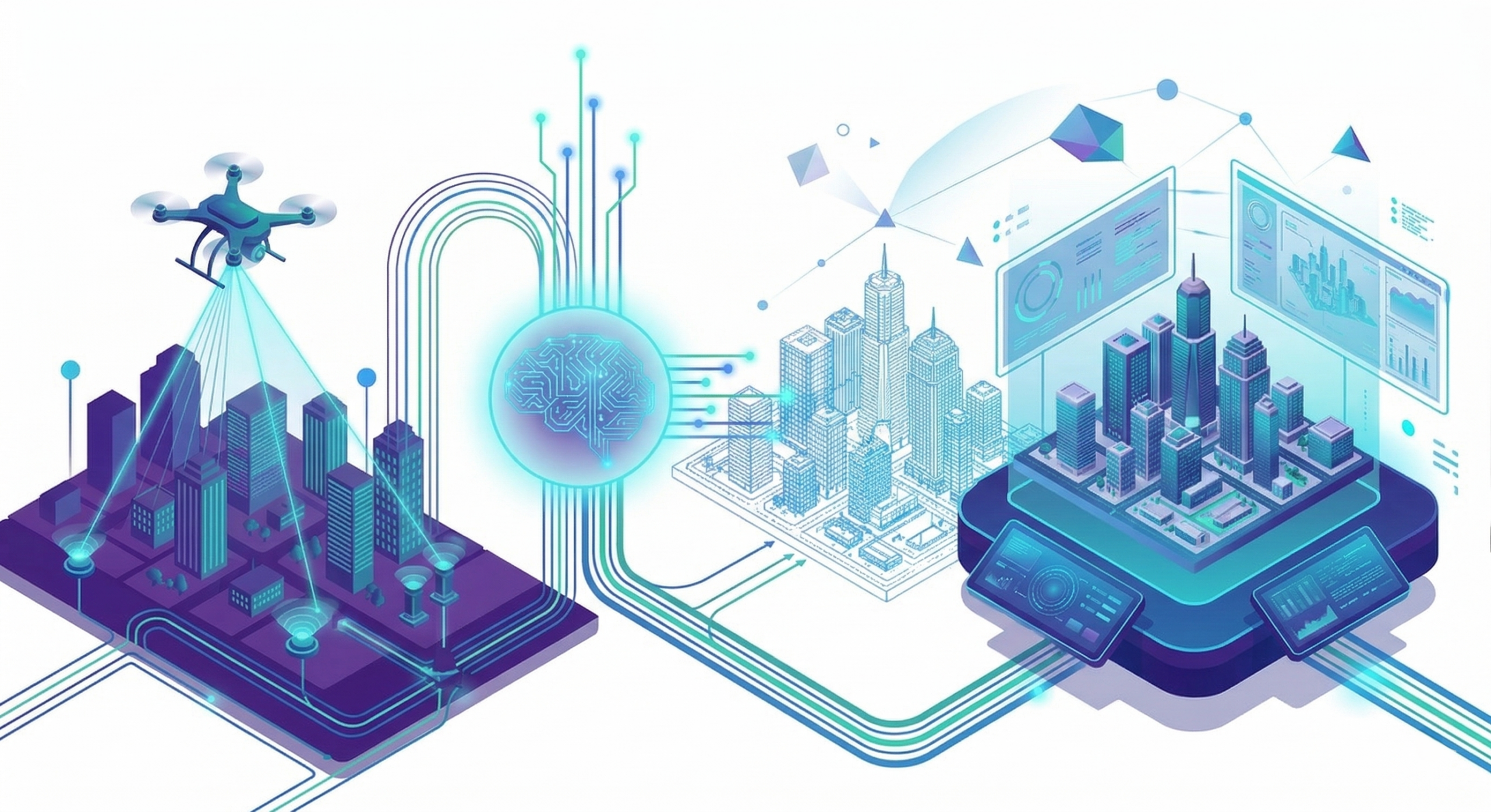
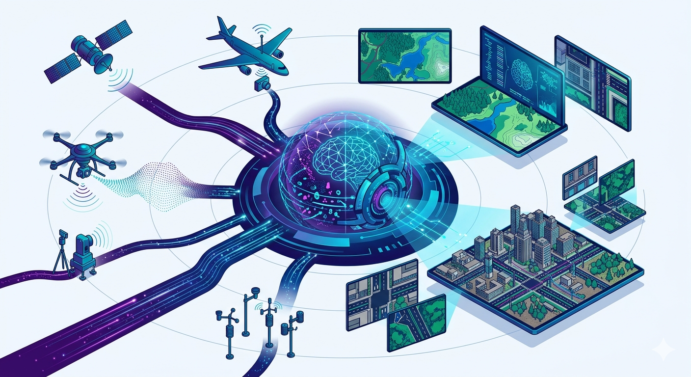
Services

Digital Twin

We build advanced digital twins that deliver realistic 3D representations of features and locations, enabling clients to access critical information without being on-site. This approach reduces costly field visits, enhances safety, and streamlines decision-making. Our digital twin platform combines innovative AI models with multi-sensor datasets and interactive features to ensure accuracy and reliability.

Remote Sensing

We use various remote sensing datasets, including those collected by satellites, airplanes, drones, and terrestrial and offshore instruments, to provide smart solutions to our clients in a timely manner. Our remote sensing capabilities minimize our clients’ costs, labor, and safety risks. Using remote sensing data, we provide near-real-time and frequent observations from everywhere in the world.

HD Mapping

High-Definition (HD) mapping delivers ultra-accurate, high-resolution representations of real-world environments using very-high-resolution remote sensing images. Going far beyond conventional mapping, it captures detailed elements of urban environments, such as road geometry, lane boundaries, elevation changes, building footprints, and urban features with centimeter-level precision. Powered by advanced AI models, HD mapping produces reliable, data-rich spatial models designed for applications where accuracy and detail are critical.

Platforms

UrbanDT™

Experience the city in a whole new dimension. Our UrbanDT platform turns entire urban areas into high-precision, interactive 3D environments — from buildings and bridges to trees, power lines, and more. Designed for both professionals and the public, it combines advanced analysis tools with real-time IoT data for smarter planning, sustainability, and decision-making. Explore flood risks, daylight and solar radiation, viewsheds, and complex spatial analyses with ease.

PortDT™

PortDT™ is a next-generation digital twin solution built to support the day-to-day and strategic needs of ports, harbours, and coastal terminals. It integrates live and near-real-time maritime data, satellite-derived environmental indicators, and powerful geospatial analytics into a cohesive, interactive operating picture. With PortDT™, port stakeholders gain a clear, centralized view of vessel movements, environmental conditions, and operational performance—enabling smarter planning, improved compliance, and more sustainable port operations through a single, streamlined platform.

UrbanDT™ & PortDTReferral & Rewards Program

We know strong networks create strong opportunities—so we’ve launched our Partner Program to reward those who connect us with new clients that can use our UrbanDT™ & PortDT™ platforms.

Industries

Agriculture

Aviation & Weather

Energy & Utilities

Forestry & Vegetation

Infrastructure & Transportation

Insurance & Disaster Management

Tourism & Cultural Heritage

Urban Planning & Smart cities

Water & Hydrology

Competitive Advantage

End-to-End Digital Twin & Geospatial Solutions

Complete delivery from data acquisition and processing to AI analytics, 3D modeling, and platform deployment—ensuring seamless integration, efficiency, and reduced project risk.

Scalable Platforms & Cloud-Based Infrastructure

In-house digital twin platforms (UrbanDT™, PortDT™, etc.) combined with advanced cloud infrastructure enable large-scale data processing and delivery through interactive, web-based environments with near real-time capabilities.

High-Performance 3D Modeling & BIM-Ready Outputs

Proprietary workflows enable rapid generation of large-scale 3D models (city-wide) and semi-automated production of high-quality CAD/BIM-ready outputs—significantly reducing time and cost.

Advanced AI, Multi-Sensor Integration & HD Mapping

Integration of satellite, aerial, LiDAR, drone, and in-situ data using cutting-edge AI enables high-definition mapping and accurate extraction of complex urban and environmental features.

Remote Sensing Expertise & Cost-Effective Delivery

Extensive experience across diverse remote sensing applications ensures optimal selection of data and methodologies, minimizing fieldwork while delivering scalable and cost-efficient solutions.

Proven Leadership, Global Delivery & Innovation

Experienced leadership with global project delivery, supported by a multidisciplinary team of experts and a strong research and innovation track record, ensuring reliable and state-of-the-art solutions.